Clean water is an extremely important resource in human life. Protection, quality improvement and clean water loss prevention are some of the urgent requirements of enterprises who are providing clean water today.
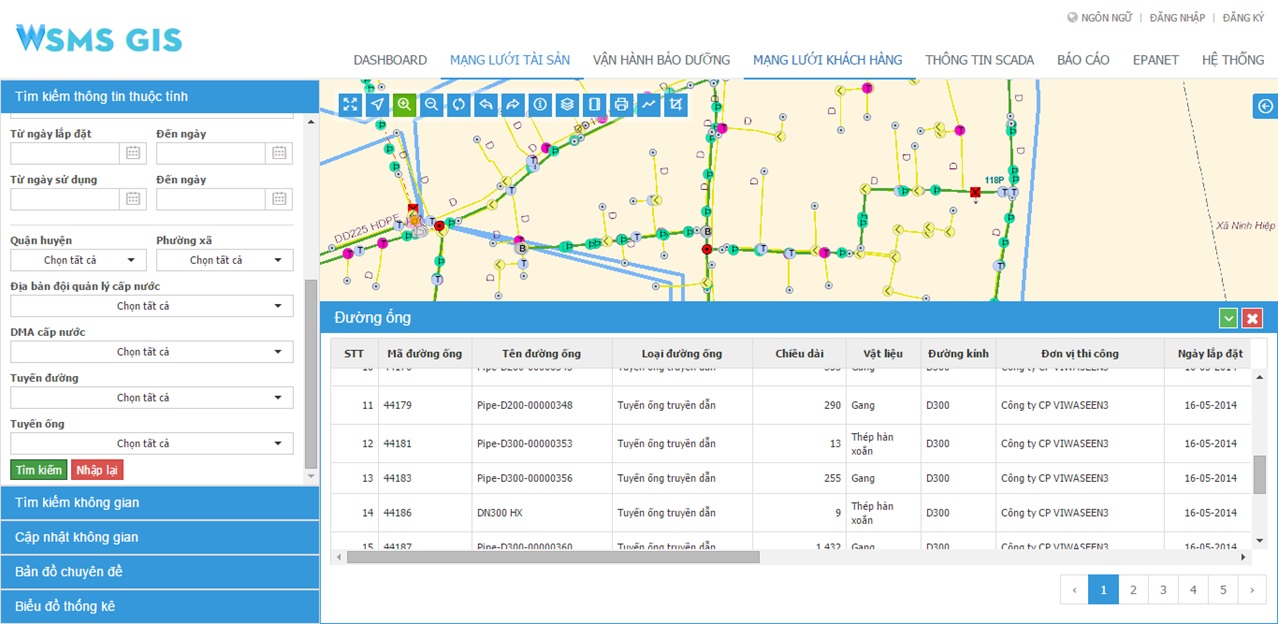
In fact, water supply companies in Vietnam are managing their water supply networks with paper maps, word, excel, AutoCAD, ... the current management situation is now discrete, inconsistency. Applying the WSMS-GIS system supports businesses to consolidate data to analyze, operate, improve management capacity and support decision-making in the management against clean water loss.

Main components
Data administration module
- Supports the process of converting data into Data Center;
- Decentralizes users;
- Defines the spatial reference system, axial meridians, …;
- Integrates with SCADA system;
- Integrates with Billing and CMS systems.
Asset management module
- Manages attributive and spatial information of water system on maps;
- Update information of assets: directly on maps, GPS, mobile or excel, etc.;
- Analyse depreciation, density, materials and type of assets;
- Query attributive and spatial information of assets.
Network operation module
- Information management on replacement, repair and upgrade of assets;
- Management of open/closed valves;
- Network incident management.
Module
- Calculate the water pressure for the entire network;
- Water quality monitoring;
- Designs network model.
Customer services module
- Manages customers’ location on maps;
- Customer billing management system.
Water supply management software
* WebGIS portal;
* Desktop workstation;
* Mobile version.