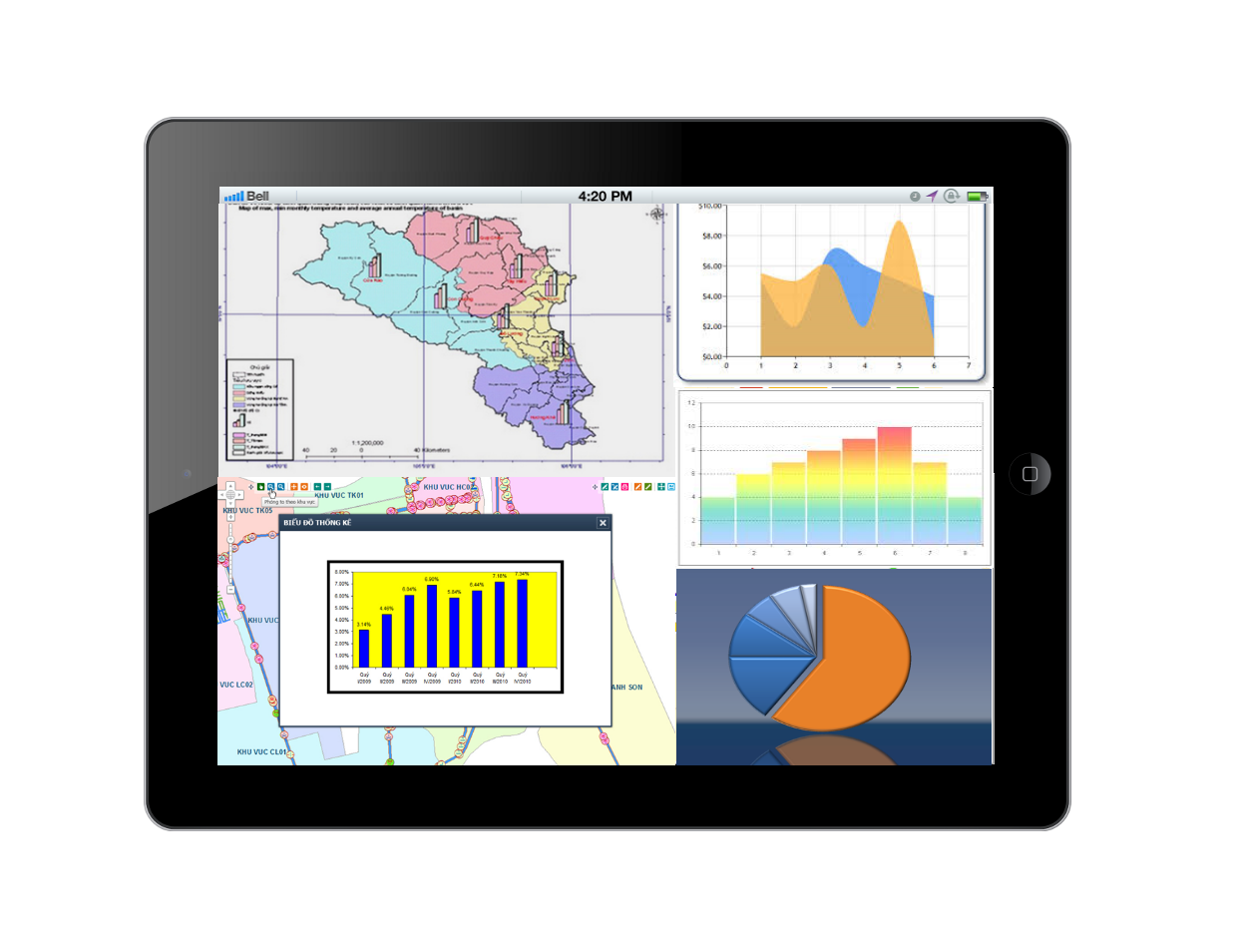
Public lighting management system is a collection of assets associated with the process of running business and production of urban environment and sanitation companies. The improvement of management and operation of public lighting system for saving power is one of the essential points and requirements, which urgently concerned.
PLMS – GIS application helps those companies in Vietnam exchanged and managed data centrally on digital maps, that supports the process of aggregating data for analysis, operation and managerial capacity improvement.

Main components
Data administration module
- Supports the process of converting data into Data Center;
- Decentralizes users;
- Defines the coordinate system, projection, axial meridians;
- Integrates with urban greenery systems and urban drainage;
- Integrates with water supply system.
Asset management module
- Manages attributive and spatial information of the lighting system on maps;
- Update information on assets: directly on maps, GPS, mobile or excel, etc.;
- Analyze longevity, density, materials and type of assets;
- Query attribute and spatial information of assets.
Network operation module
- Information management on replacement, repair and upgrade of assets;
- Manages seasonal lighting plans;
- Network incident management;
- Safety corridor management;
- Manages power consumption.
Statistical management module
- Statistics of newly installations annually;
- Statistics on lighting network operation;
- Statistics of power consumption.
Public lighting management software
* WebGIS software;
* Desktop workstation;
* Mobile version.