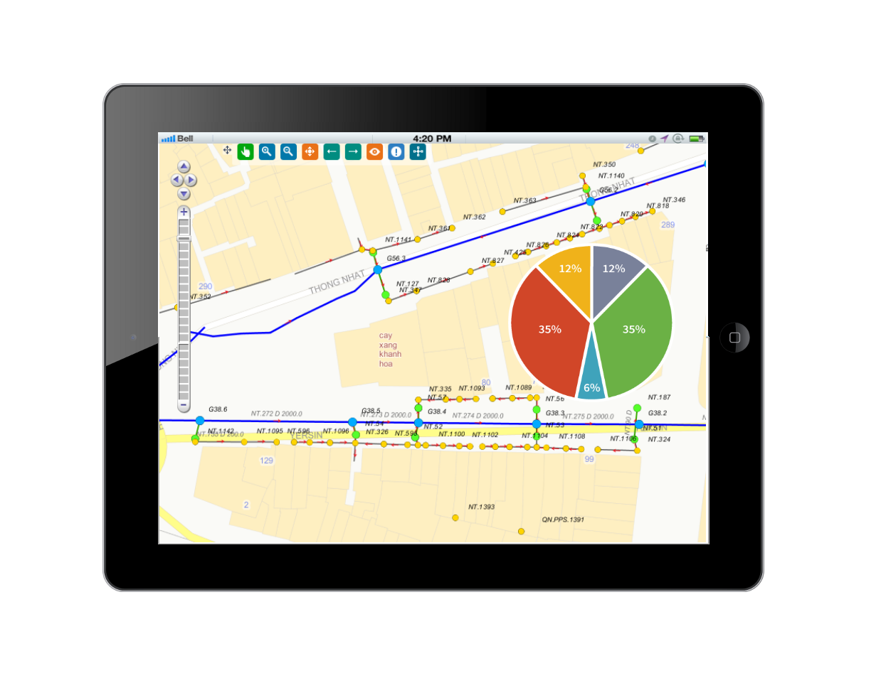
Drainage system includes domestic wastewater networks, industrial sewage networks and rainwater drainage networks. For urban areas, the drainage network plays an extremely important role in regulating the daily-life wastewater of people. Therefore, improving the management of flooding and wastewater treatment is one of the imperative requirements for urban environment companies.
In fact, urban environmental companies in Vietnam are managing their drainage networks with completed drawings on traditional paper, word, excel or AutoCAD, etc., that are appearing to be a situation of discrete and inconsistency management. DRMs-GIS helps these companies to synthesize data for analysis, operation and improving managerial capacity.

Main components
Data administration module
- Supports the process of converting data into Data Center;
- Decentralizes users;
- Defines the spatial reference system, axial meridians, …;
- Integrates with urban greenery systems and urban drainage;
- Integrates with water supply system.
Asset management module
- Manages attributive and spatial information of the drainage system on maps;
- Update information of assets: directly on maps, GPS, mobile or excel, etc.;
- Analyse longevity, density, materials and type of assets;
- Query information of assets on maps.
Network operation module
- Information management on replacement, repair and upgrade of assets;
- Management of flushing and dredging plans for sewer lines.
- Network incident management.
Statistical management module
- Statistics of newly installations annually;
- Statistics on network operation.
Drainage management system software
* WebGIS portal;
* Desktop workstation;
* Mobile version.