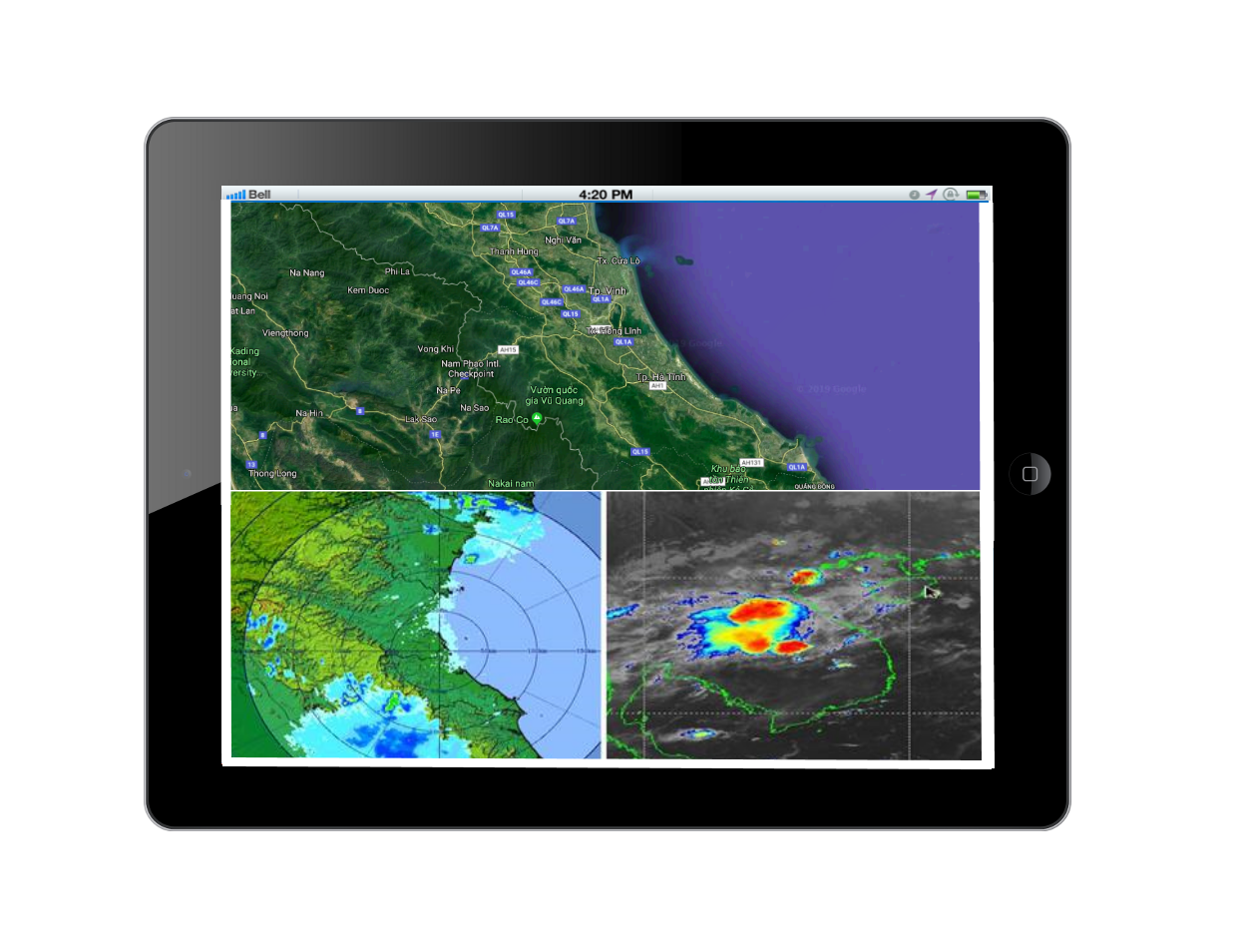
Model-integrated system for climate change monitoring and early warning.

Main components
The system includes 3 component
• Data Management
• Core application layer.
• Presentation layer
System’s function
• Display the maps and interactive functions on the map
• Update location of the monitoring stations (water quality, air quality, sea water level, sea water quality…)
• Query information of monitoring stations from database
Display the monitoring data onto thematic maps
• Integrating realtime hydro-meteorological monitored data from meteorological stations
• Summary of monitoring information
• Search monitoring information
• Display monitoring information as graphs
• Display monotoring information as reports
• Display monitoring information as maps
Isaster warning software
* WebGIS portal;
* Desktop workstation;
* Mobile version.